
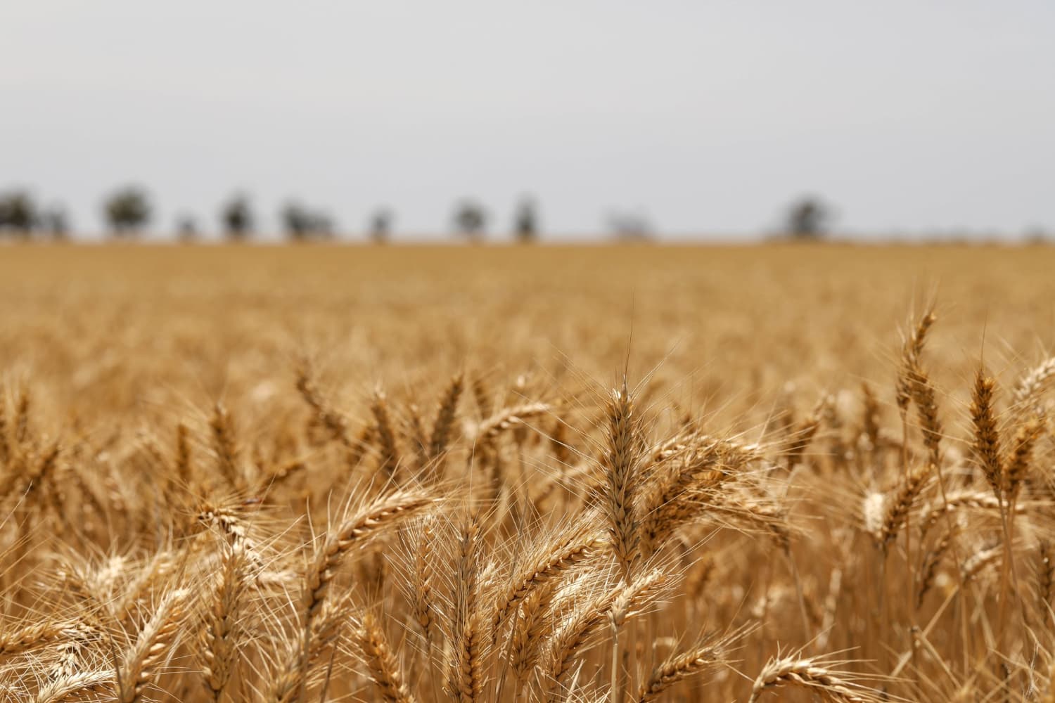
Timely Ag Solutions for Better Farm Decisions - at Any Scale
American Prime helps farmers, consultants, and ag companies monitor fields, detect problems earlier, and make smarter decisions across every acre they manage.
Crop Intelligence Platform • Precision Drone Systems • On-Demand Field Services
Partners


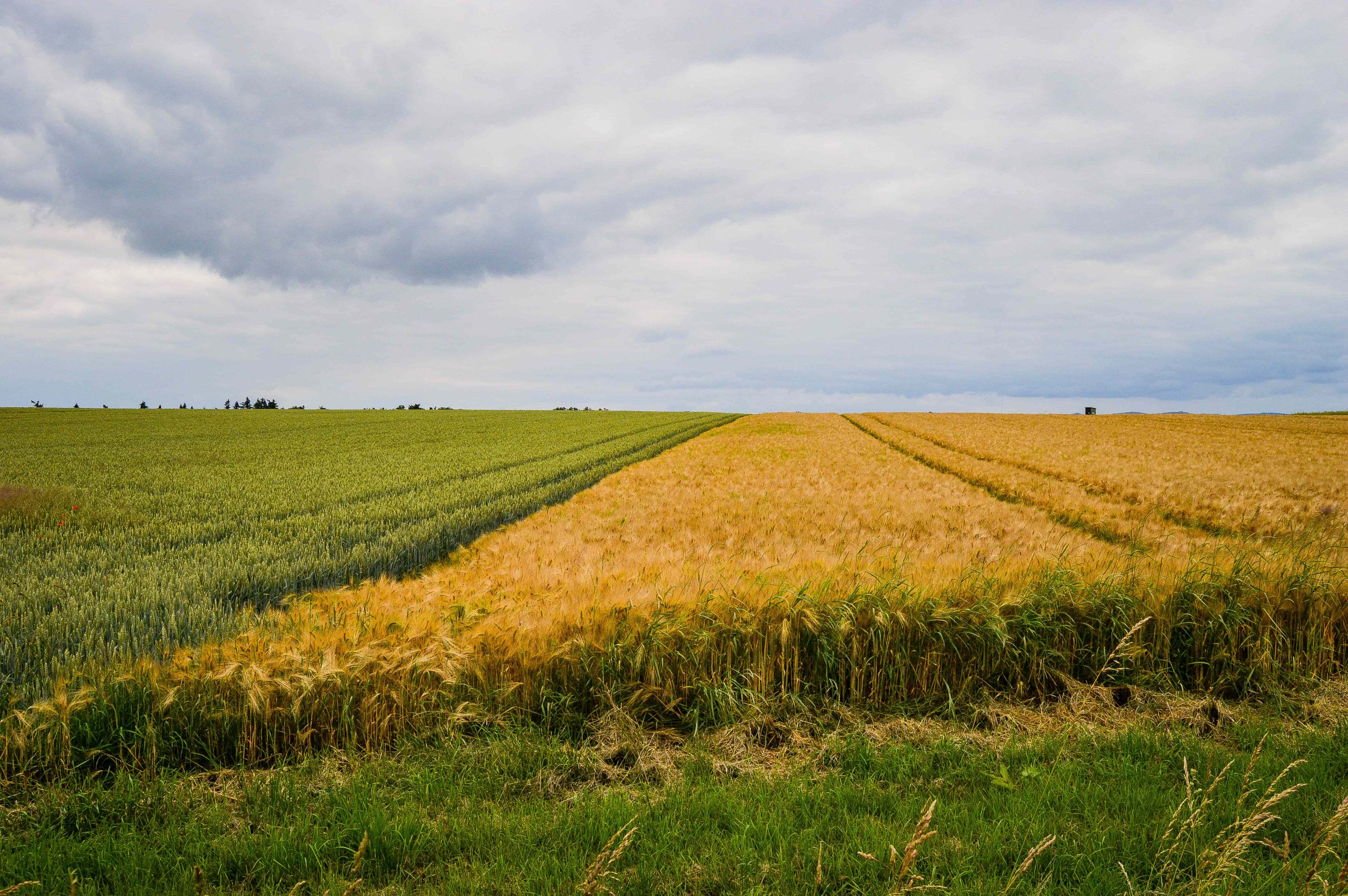
Farming Decisions Are Getting Harder
-
Labor shortages
-
Rising input costs
-
Weather unpredictability
-
Lack of real-time field visibility

One Platform. Three Powerful Solutions.
-

On-Demand Services
Crop/invasive species mapping, yields forecasting, high resolution satellite data, GHG "CO2/CH4", etc. Customized services and pricing -

AP Crop Intelligence
3 tiers of service packages, incl. AI alerts performance maps. -

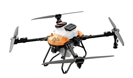
AP Drones
6L and 30L 100Kg payload ($35k pre-sale) Recurring revenue via. Tier 3 integration Supports precision spraying + AI insights
How It Works
- Scan Your Fields
- Analyze Crop Performance
- Take Action
Built for Measurable Impact
-
1Reduce chemical waste
-
2Detect stress early
-
3Improve yield planning
-
4Lower scouting costs
-
5Saves time managing operations
Who We Serve


-

-
 100 000 acres scanned
-
 ~$120/acre in inputs savings
-
 7-15% yileds increase
Technology Trust Block
-
 Secure data storage
 -
 US-based operations
 -
 Agronomy-backed analysis
 -
 FAA compliant